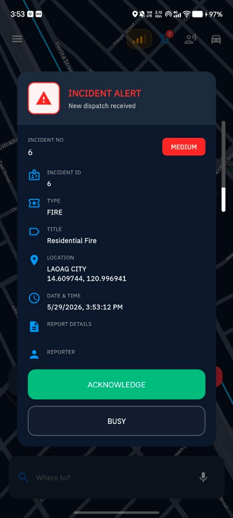
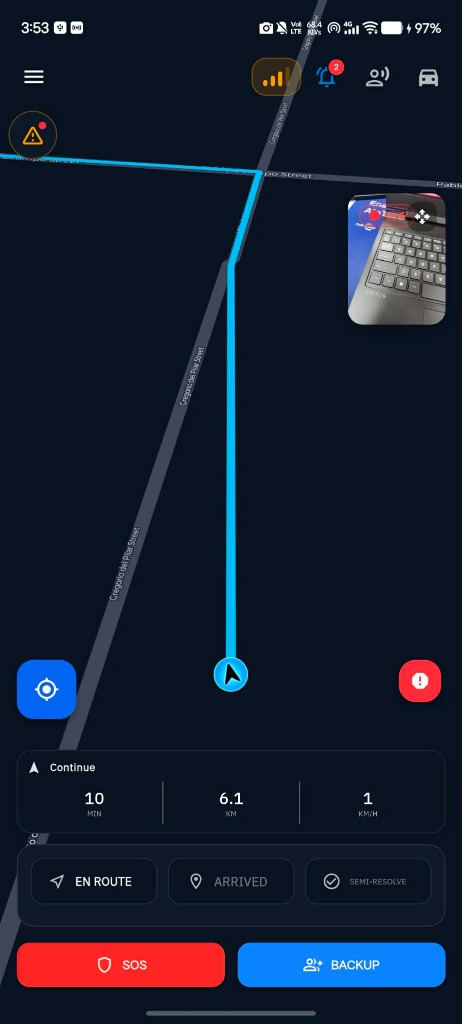
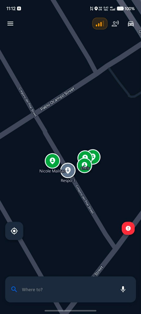
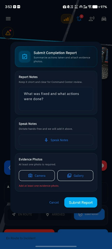
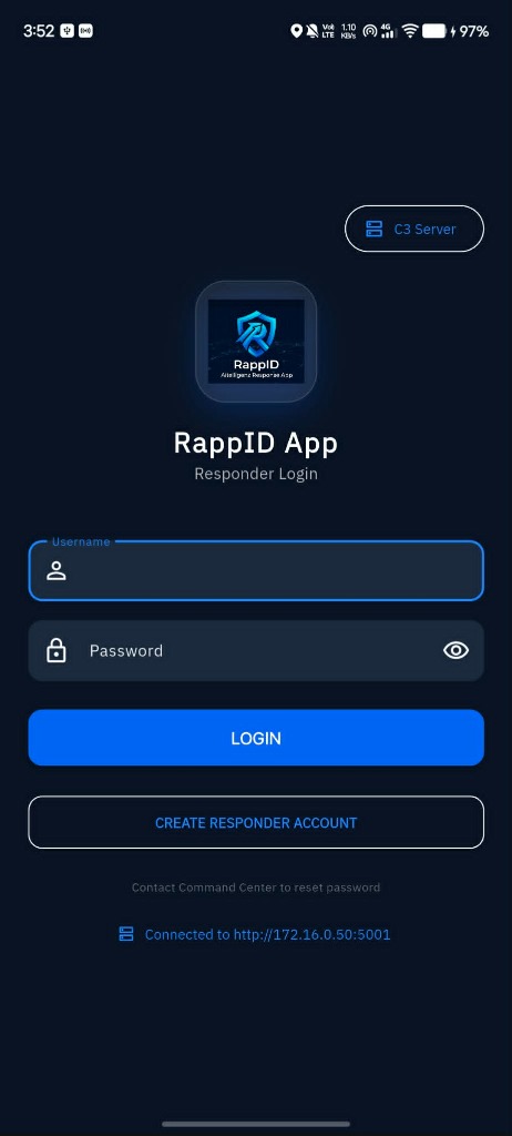
RappID App connects field personnel directly to the C3 Command Center. Instantly receive alarm dispatches, view live GIS mapping navigation, request emergency backup, and file completion reports straight from the scene.
Field responders receive alarm overrides and visual overlay cards displaying urgent incidents as they arise. With detail panels outlining severity status, exact address logs, geographical coordinates, and timestamp logs, teams stay fully informed on the fly.
Responders follow active routes highlighted in bright blue paths directly on the map interface. Real-time telemetry calculations display arrival estimates, remaining travel distance, and vehicle speeds to keep response times within targets.
Track the real-time location of partner crews, response vehicles, and incident markers directly on the mobile GIS map layer. Fosters dynamic coordination among different field units (PNP, BFP, and EMS medics) responding to complex events.
After resolving the situation on-site, responders complete structured reports instantly. Responders can type notes, record audio logs via hands-free dictation, and snap validation photos using their device camera before sending data to the central log.
Specially engineered capabilities enabling field personnel to execute emergency operations under stress.
Alert dispatches bypass device silent modes, triggering active audio alarms to ensure first responders immediately react to high-priority alarms.
Background coordinates, movement vectors, and device battery diagnostics are periodically synced to keep local control rooms informed of unit status.
Encrypted voice channels integrated directly inside the response app interface allow medics, fire marshals, and police officers to coordinate instantly.
Mula sa pagtanggap ng abiso hanggang sa paglutas ng insidente, narito ang mga pangunahing benepisyo ng RappID App para sa ating mga magigiting na responders: